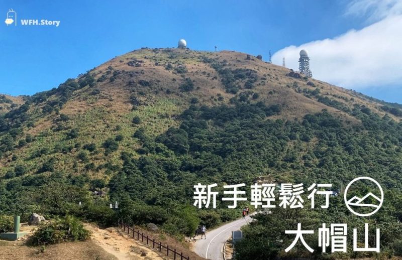
【W.F.HongKong 在山一角】Easy Trail Easy Walk -Tai Mo Shan ■ 輕鬆踏上香港之巔 大帽山
疫情期間很多香港人都會選擇去遠足,喜歡熱鬧的嘉仁自然也培養了這一習慣。
Hiking has become really popular in Hong Kong during the pandemic, and KA is one of those who started to hike during COVID era.
作為全香港港最高山峰 (海拔957米),攀登大帽山會給大家一個很困難的印象。但其實大帽山的登山路線相當簡單,絕對適合登山新手!
Being the highest mountain in Hong Kong, the trail to the top of Tai Mo Shan (957m) is surprising easy even for beginners.
Transportation to Tai Mo Shan . 前往大帽山
- Heading to Tai Mo Shan ■ 去程
港鐵荃灣站/ 荃灣西站出發,乘坐51號巴士,於大帽山郊野公園下車。
Take No. 51 bus from Tsuen Wan/ Tsuen Wan West MTR station. Get off at Tai Mo Shan Country Park and start your walk from the country park’s entrance.
- Leaving (same way back) ■ 回程
沿原路下山,乘坐反方向的51號巴士返回荃灣。
Same route but in opposite direction.
| Things to Note ■ 注意事宜 【荃灣出發】Exit A – Tsuen Wan station ■ 荃灣站 A 出口 (註︰出口轉左 沿樓梯上天橋平台) 【荃灣西出發】Exit D – Tsuen Wan West station ■ 荃灣西站 D 出口 (註︰沿大河道前往如心廣場巴士總站) |
| Things to Note II ■ 注意事宜 2 單層巴士 – 30-45分鐘一班車 (註︰強烈建議提前等車) Suggested to downlaod KMB App and queue up slightly earlier at the station(s) |
Hiking Route ■ 行山路線 (來回需時: 2.5-3 hrs)
路線非常簡單, 就是沿著車道一直上山.
Simple & easy: Walk along the trail (which is a driveway) to reach the peak
「大帽山郊野公園」入口 → 大帽山道 (亦是麥理浩徑8段) → 大帽山天氣雷達站
Entrance → Tai Mo Shan Rd (a.k.a. Maclehose Trail Sec. 8) → Radar Station at peak
*下車地點已經是海拔400米左右, 所以其實只要多爬一半(500米), 就可以登頂!
the entrance is at a height of ≈400m (i.e. hikers only have to climb 500m to reach the peak)
Checkpoint #1 – Tai Mo Shan Country Park Entrance ■ 大帽山郊野公園入口
下巴士後,向車尾方向走,在2分鐘內就能看見對面馬路的很大的門牌︰大帽山郊野公園入口。
Immediate walk towards your left after getting off the bus, and in max 2 mins you would see the huge sign of Tai Mo Shan Country Park.
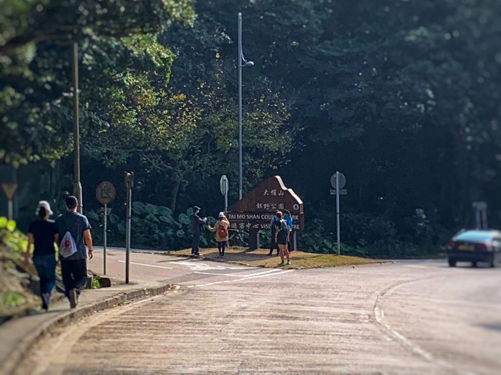
進入郊野公園後,不久就能見到『扶輪公園』和『大帽山茶水亭』。它們將會是來回3小時的路上唯一補給點,需要的話請先補充一下物資。
Not far away from the entrance, there is the only kiosk on this trail and KA suggests to stop by for supplies/ wee-wee.
登上大帽山的路,就是一直沿著車道上山,是不是相當容易呢?
After visiting the kiosk, it’s time to go up the mountain︰pretty easy as you just need to walk along the driveway and all the way up.
Checkpoint #2 – Picnic Site No. 3 ■ 大帽山野餐地點
登山剛開始是一段林蔭小徑,但愈到後面樹蔭就會愈少,所以大家一定要做好防曬!
The trees will get shorter and more scattered when you hike up the slope. Well, the view will also get better but at the same time it will be easier for the hikers to get tanned.
一直往前走,大約45分鐘就能抵達【Checkpoint #2】一小片平地。可以用來休息/ 野餐哦。
【Checkpoint #2】is est. 45 mins away from the entrance – Picnic Site No. 3.
不過在【Checkpoint #2】,大部分的風景都被樹叢擋住了。要是大家想看遠處的風景,可以接著往上走。
Picnic Site No. 3 is surrounded by trees and bushes, and it’s definitely not the best viewing point at Tai Mo Shan.
Checkpoint #3 – North Viewing Point ■ 北面觀景台
再往上走5-10分鐘,就能到【Checkpoint #3】大帽山北面觀景台。在觀景台上,整個元朗﹑八鄉一覽無遺。要是天氣好的話,據說還可以眺望深圳灣。
【Checkpoint #3】 is est. 5-10 mins away from the 2nd checkpoint. From【Checkpoint #3】there is more than 180° of great view of Yuen Long floodplain. And some even say can see Shenzhen from there.
觀景台旁就是一大片草坪,是野餐﹑群體遊戲或是玩航拍機的好地方。
Some people come all the way up to picnic, chill or play drones at the viewing point.
Checkpoint #4 – The Gate ■ 山頂閘口
從觀景台再往上走5分鐘,就是山頂閘口。一般車輛就只能開到這裡,之後的路段都需要自己一步一步走。
The Gate is est. 5 mins away from the previous checkpoint (Note︰No vehicle access beyond the Gate).
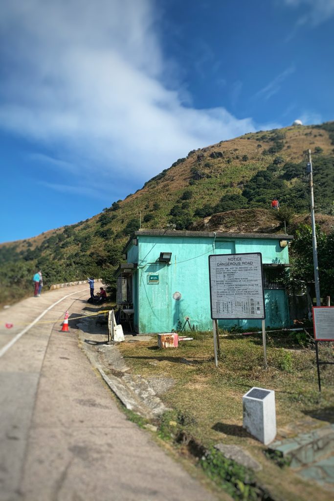
大帽山閘口是很多行山客打卡的地方
從閘口開始到登上山頂,大約需要步行20分鐘。沿途的路上『九曲十三彎』,是登大帽山的另一特色。
It takes est. 20 mins of walk from the Gate to the top of Tai Mo Shan.
秋冬時分,大帽山上的黃金芒草亦是打卡熱點之一。喜歡芒草的朋友,一定不能錯過!
During autumn/ winter, this part of Tai Mo Shan is known for the countless golden silvergrass (a.k.a. timothy-grass). For those who are silvergrass lovers, you must need to see it!
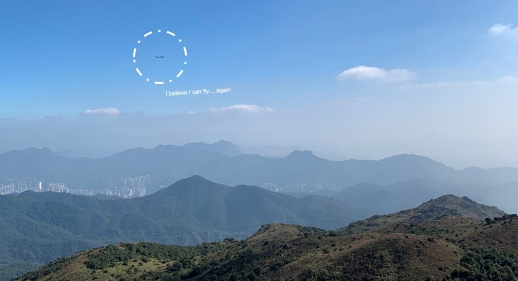
在香港的最高峰上,仿佛會比較靠近天上的飛機 ☁️ 話又說回來,除了秋冬獨有的芒草,大帽山還有甚麼是最有名?
It feels like getting closer to the sky and the planes when you are on top of Tai Mo Shan. Other than the sky and silvergrass, do you know what else about Tai Mo Shan are being famous?
日出﹑日落﹑雲海﹑結霜 (更多美景等大家去發掘… …)
There are many︰Sunrise, Sunset, Sea of clouds, Frost, etc.
Checkpoint #5 – Radar station ■ 氣象站
走過『九曲十三彎』後,嘉仁便抵達這次的目的地︰大帽山山頂氣象站。
After the last 20 mins walk, KA has arrived at the final stop of this trip︰radar station at top of Tai Mo Shan.
🍀大功告成 – 成功征服香港最高峰!!
At the end, KA made it to the top of Hong Kong in approximately 2 hours.
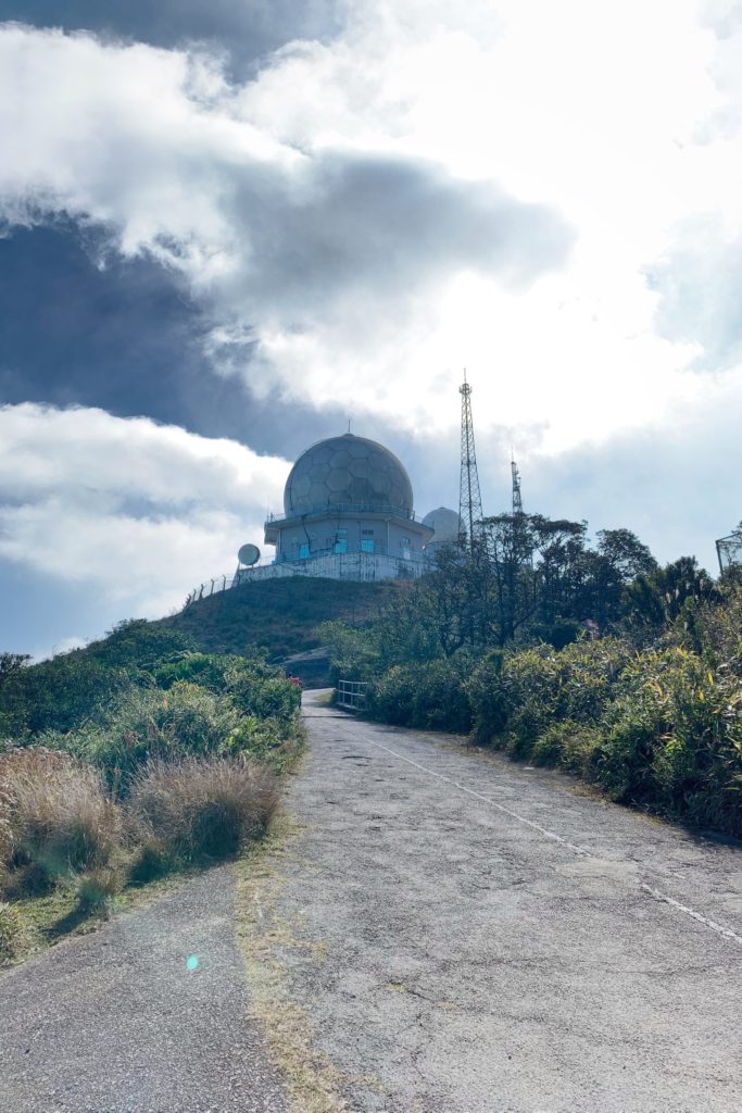
在登頂過後,嘉仁便沿著原路返回山腳處,回到原來下巴士的地方,搭乘51號巴士返回荃灣。
After reaching the top, it’s time to go back down the mountain︰Follow the same route to make it back to the bus station (where KA got off), and then take the No. 51 bus back to Tsuen Wan.
About Tai Mo Shan . 大帽山後感
- 自大帽山郊野公園入口處上山,到達山頂後再沿原路返回,全程約 2.5 – 3小時
The whole round trip takes around 2.5 – 3 hours (Country Park Entrance ↔️ Peak)
- 初級難度 (全程都是已鋪好的車道 相當適合初學者)
Level of difficulty︰relatively simple & fits all levels of hikers
- 可遠眺九龍﹑新界大部分地方
Open view of most places in Kowloon & New Territories 🔭
| 有關更多在香港遠足﹑行山的經歷,可以瀏覽嘉仁的其他文章: Check out other sharing from KA for more about hiking in Hong Kong: 在山一角 |
如果你喜歡嘉仁的分享,歡迎追蹤︰
▶️ YouTube Channel – WFH Story
👇 Instagram – wfh.story_
